- About Us
A township in Washington County, Pennsylvania
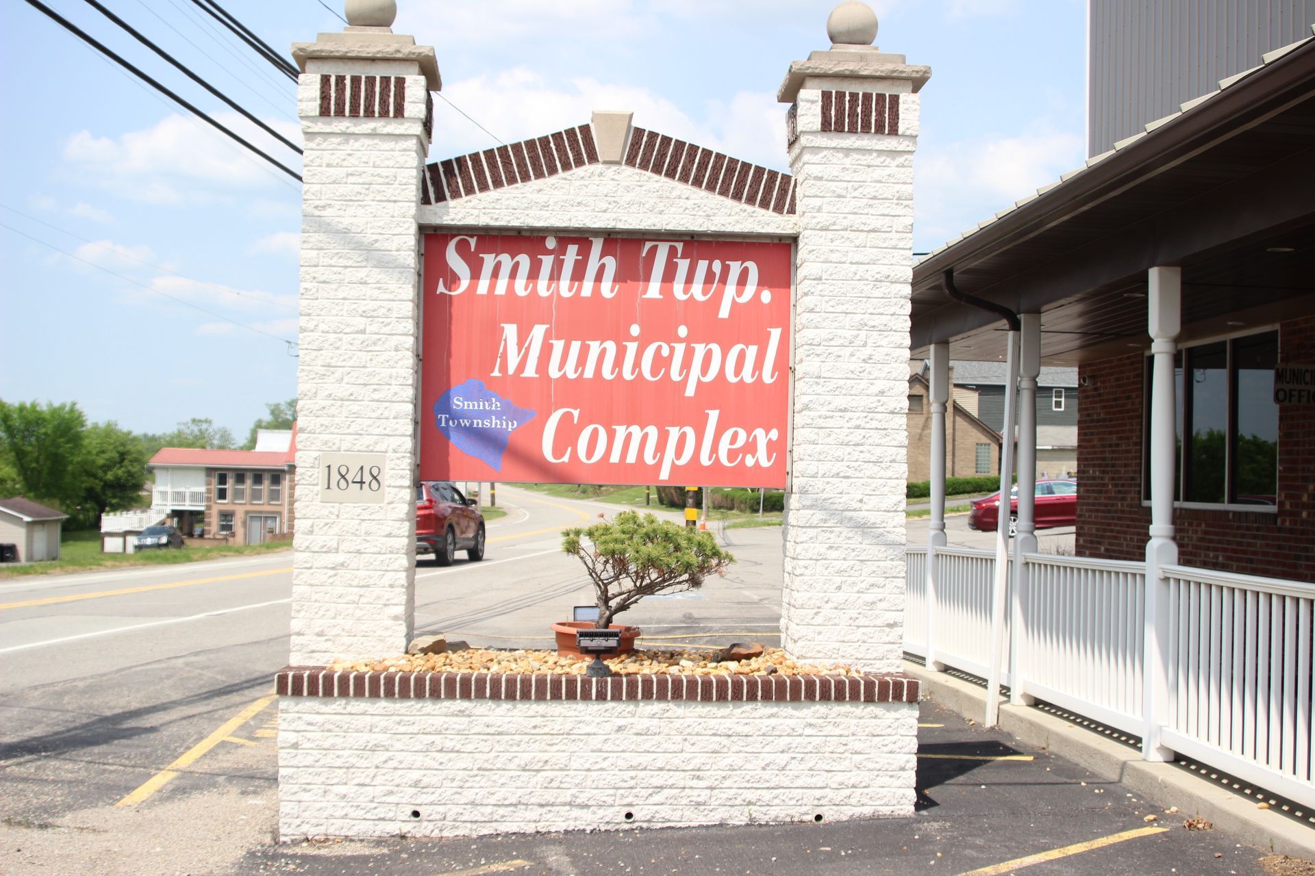
Smith Township was founded in 1781 as one of the original 13 townships created with the birth of Washington County.
The information on this site is for the benefit of all persons living in or interested in locating to Smith Township. The township is located in the northwestern corner of Washington County Pennsylvania, about 30 miles west of downtown Pittsburgh. It was founded in 1781 as one of the original 13 townships created with the birth of Washington County and named to honor Rev. Joseph Smith. Click here for the History of Smith Township.
1781
Founded in
13
Townships created
Favorite Links
Pennsylvania
Pennsylvania
Pennsylvania
Pennsylvania
Contact Township before proceeding with any business or activity
Disclaimer: We strive to present the most current Township information on these pages.
- Links
Favorite Links
These links are being provided as a convenience and for informational purposes only;
They do not constitute an endorsement or an approval by Smith Township of any of the products, services or opinions. Smith Township does not own or operate any of these 3rd party links and bears no responsibility for the accuracy, legality or content of the external site or for that of subsequent links. Contact the external site for answers to questions regarding its content.


